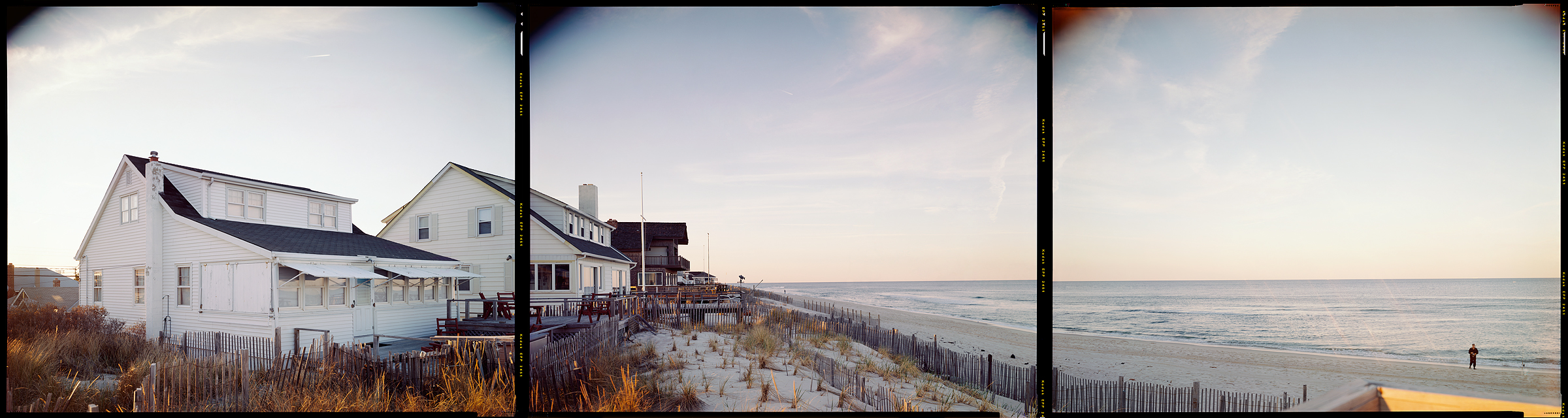
Normandy Beach, New Jersey, 1998
N 40° 00’ 01” W 74° 03’ 32”
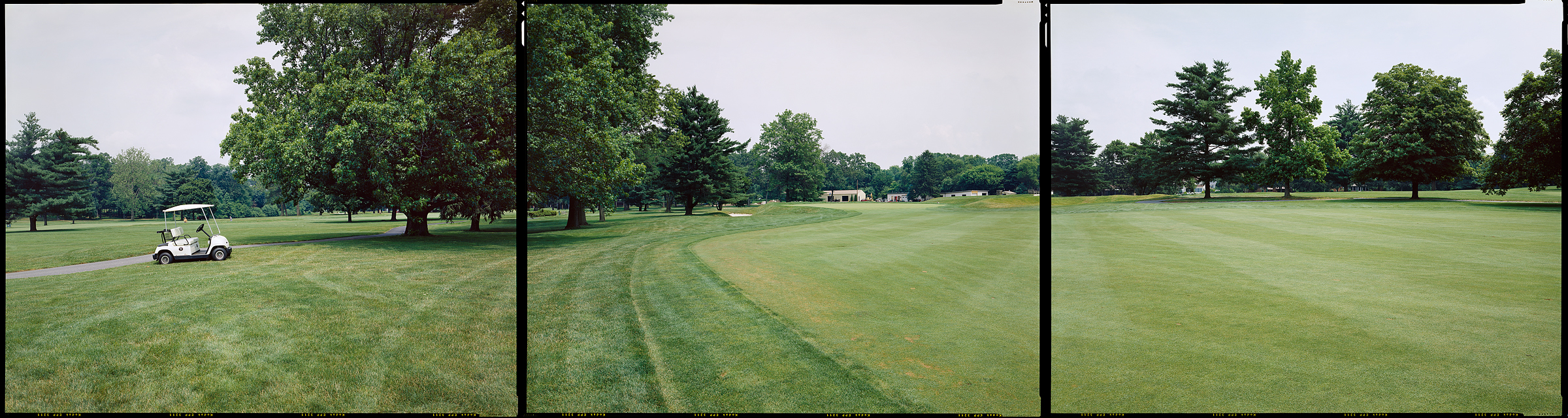
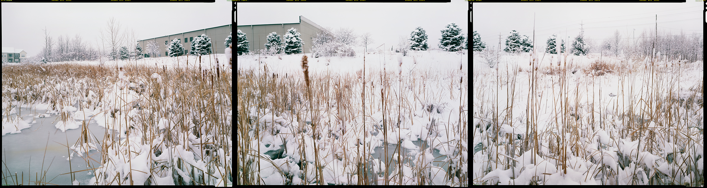
Riverton, New Jersey, 2003
N 40° 00’ 00” W 75° 00’ 00”
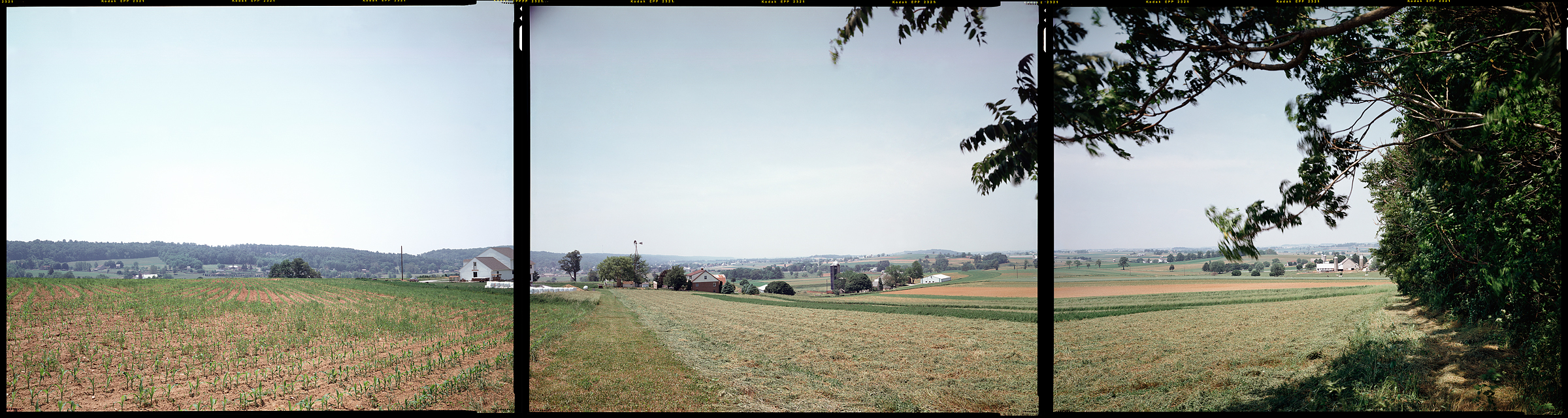
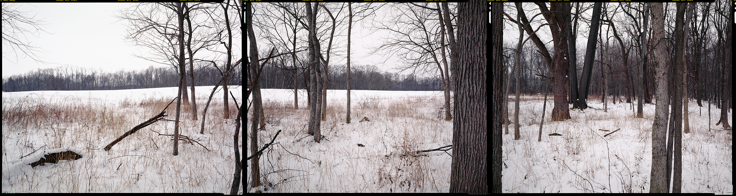
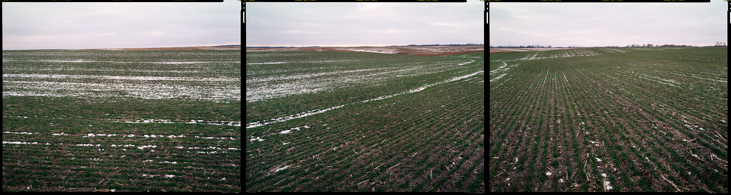
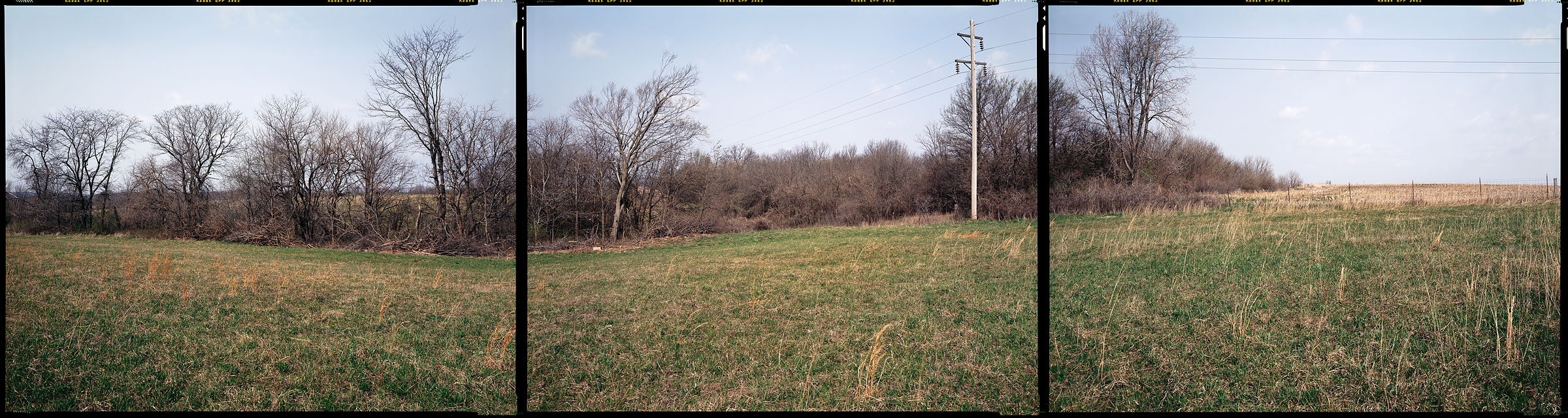
Gap, Pennsylvania, 1999
N 40° 00’ 00” W 76° 00’ 00”
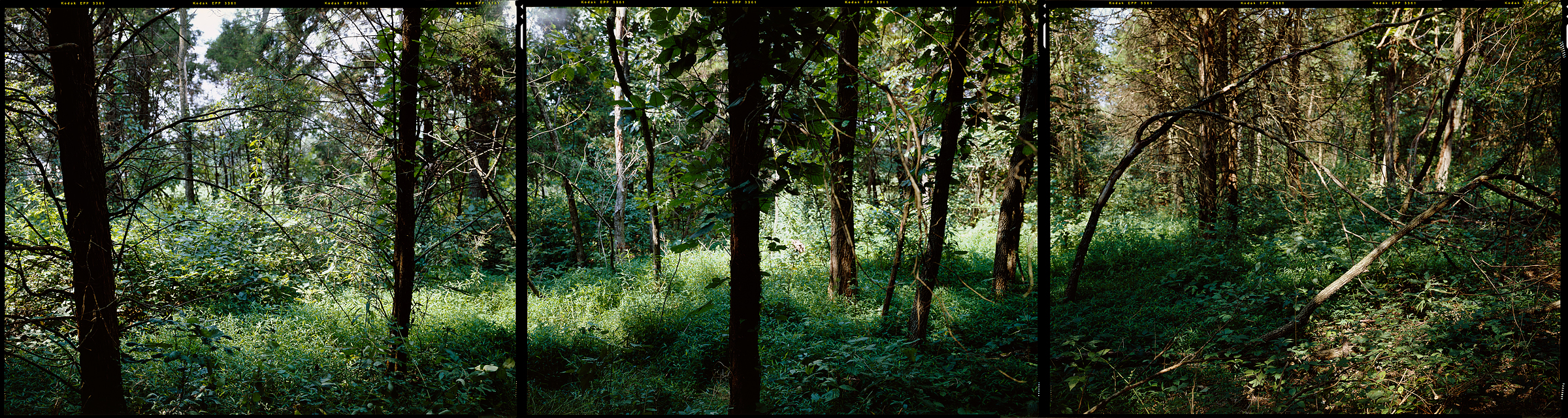
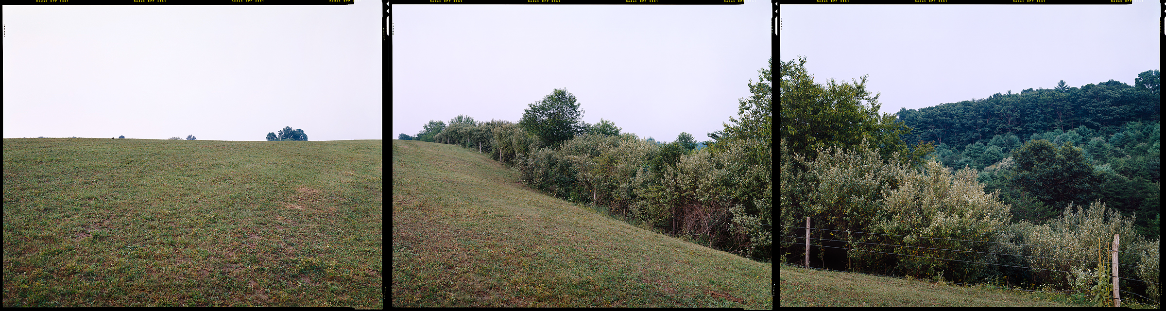
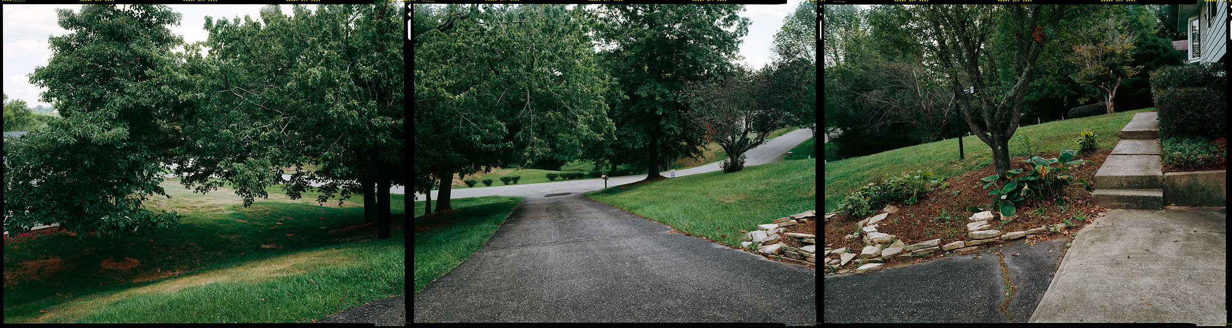
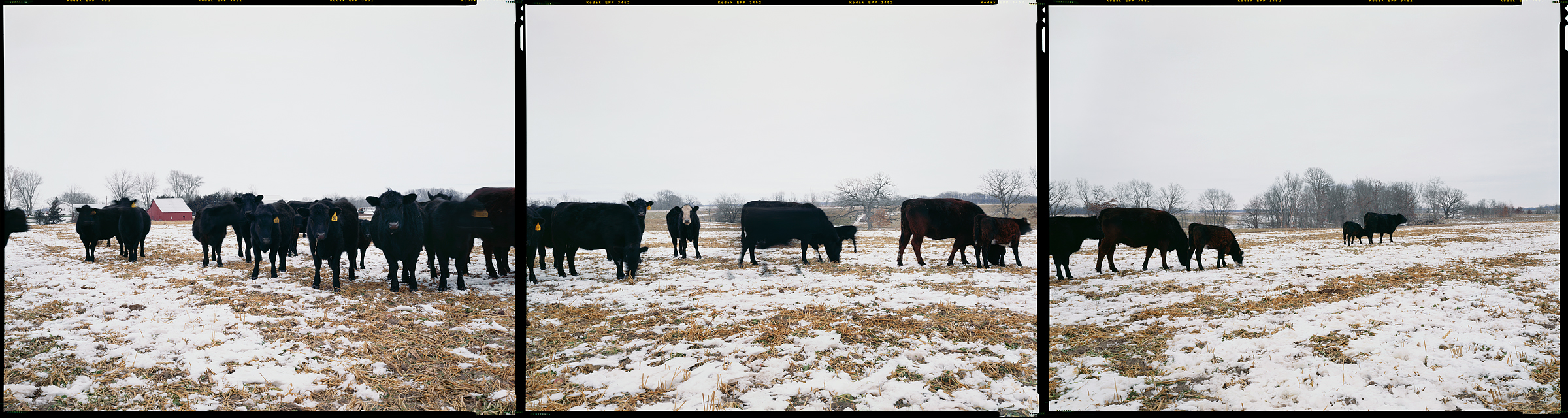
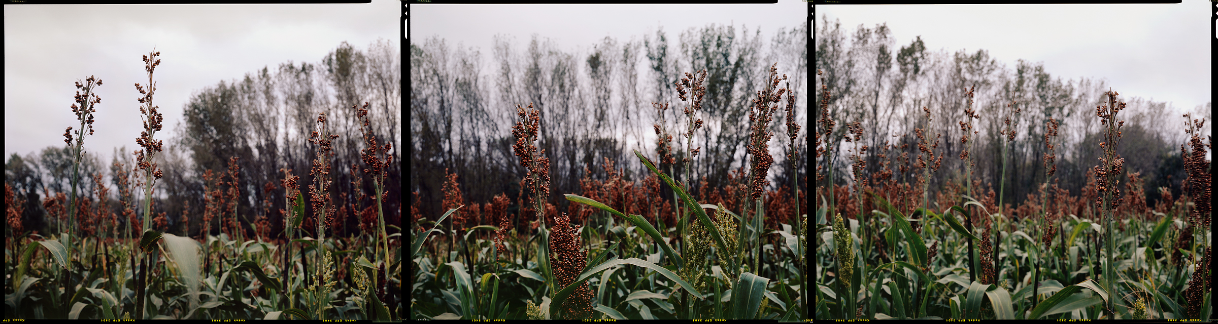
East Berlin, Pennsylvania, 2006
N 40° 00’ 00” W 77° 00’ 00”
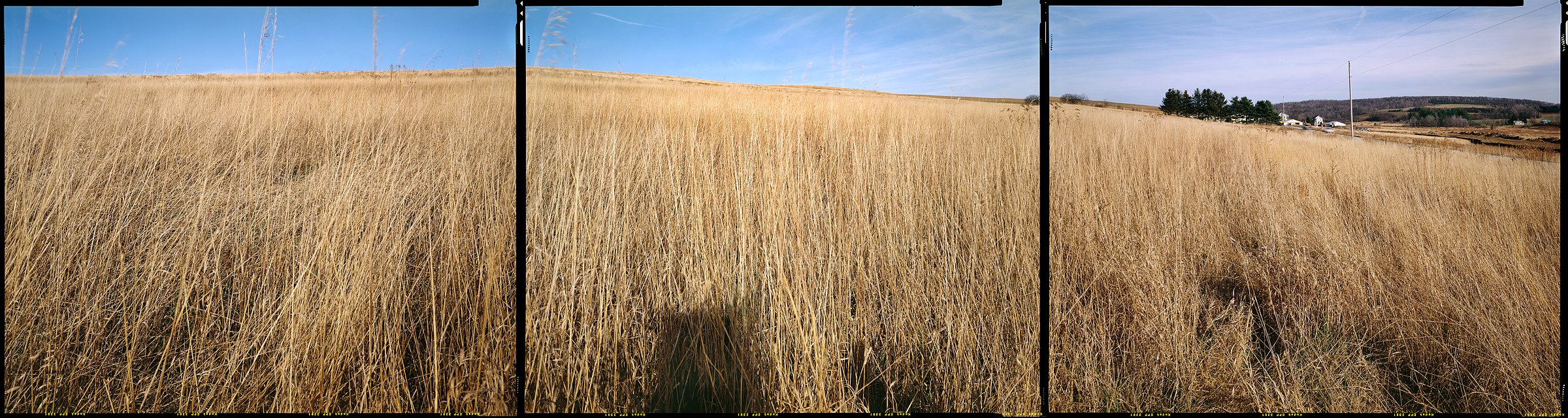
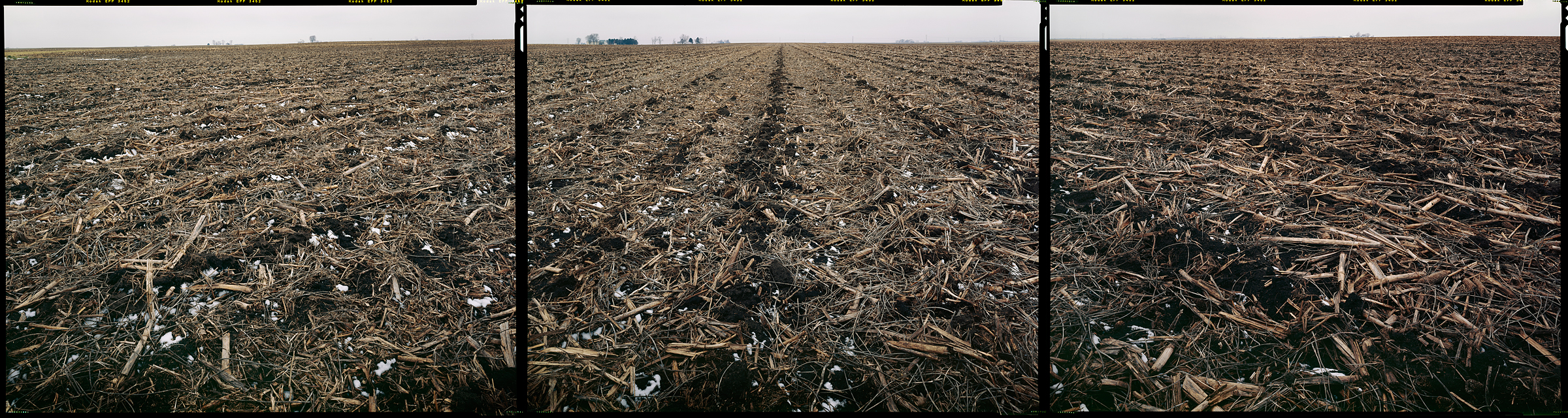
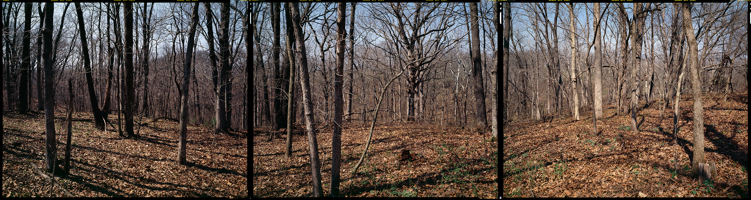
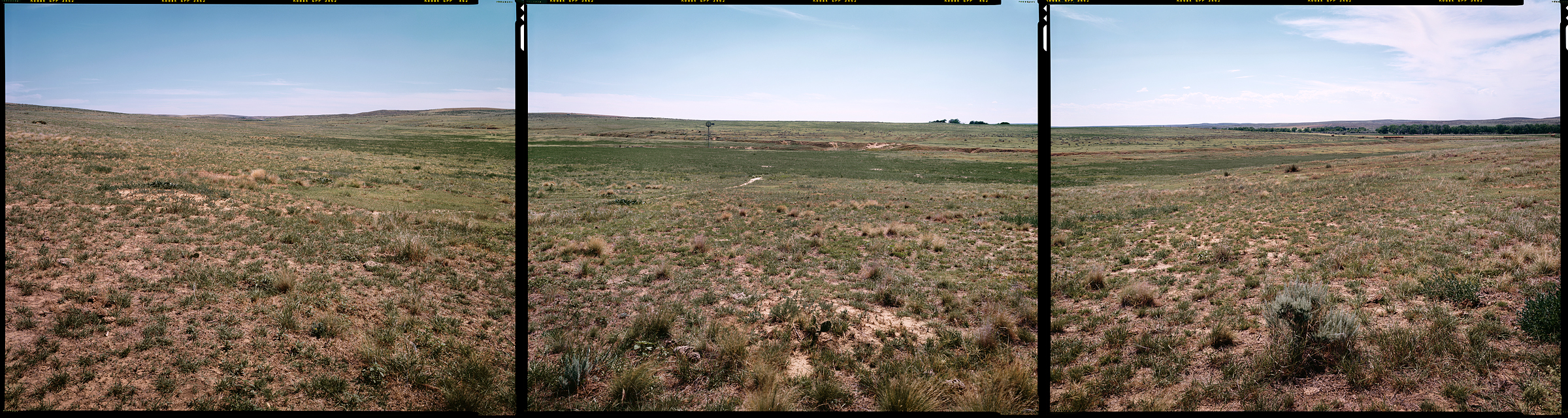
McConnellsburg, Pennsylvania, 2006
N 40° 00’ 00” W 78° 00’ 00”
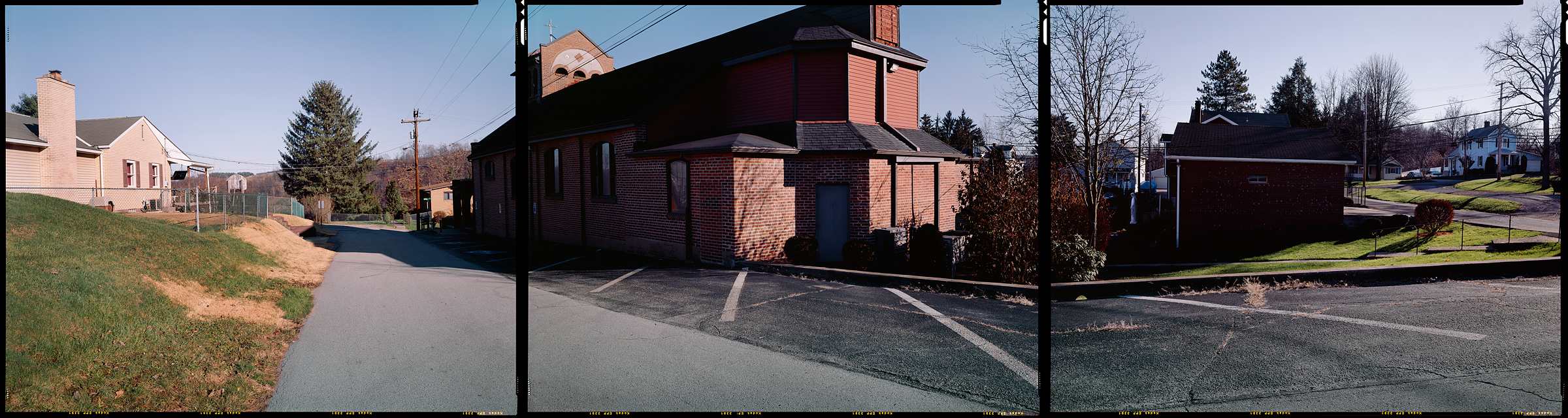
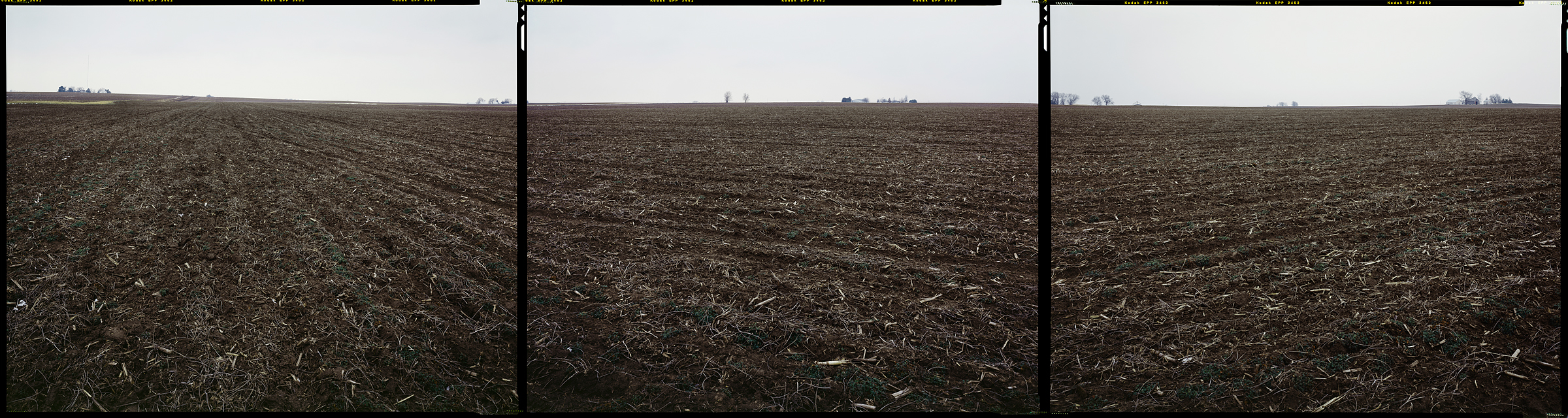
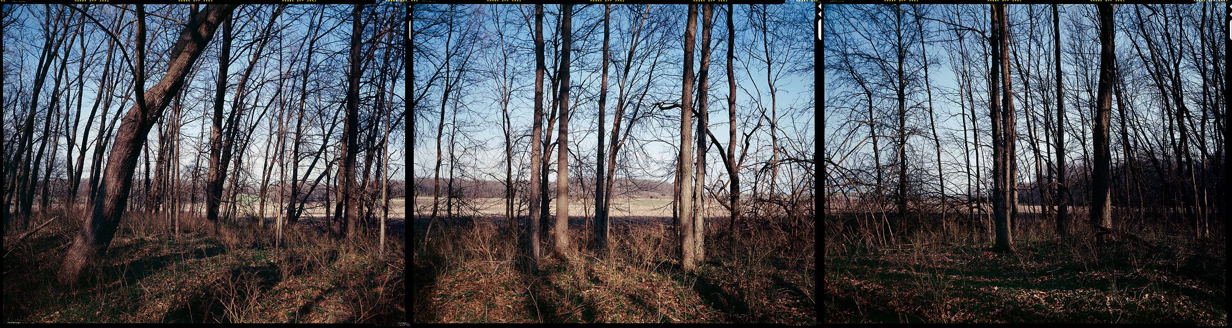
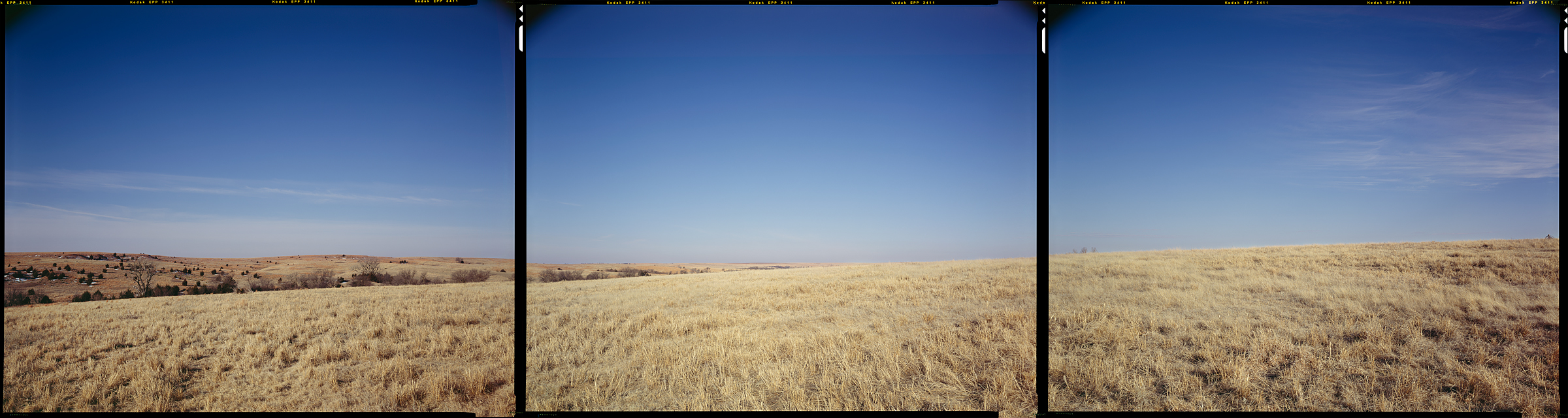
Somerset, Pennsylvania, 2006
N 40° 00’ 00” W 79° 00’ 00”
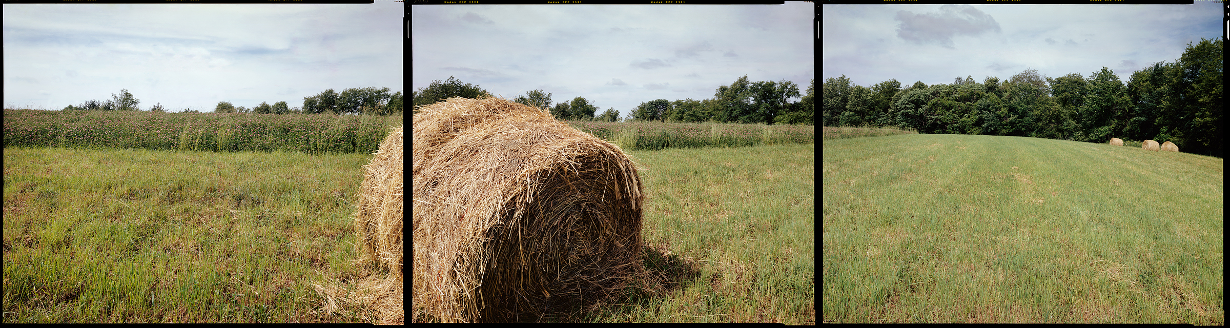
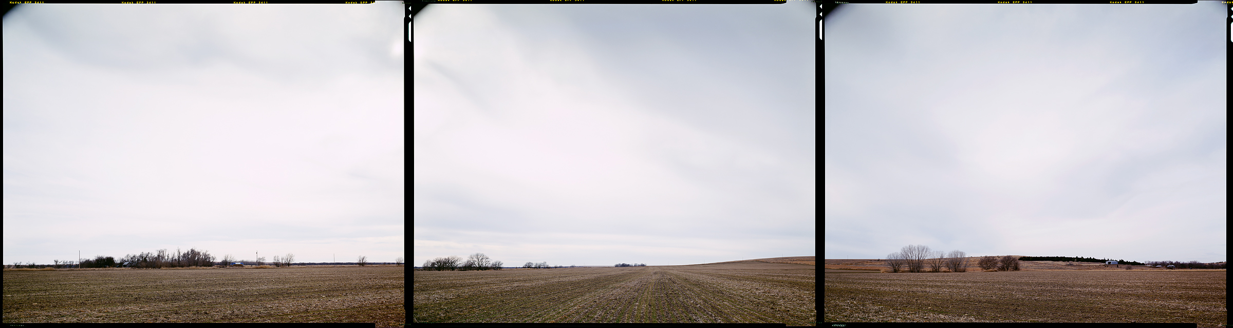
Fredericktown Hill, Pennsylvania, 2006
N 40° 00’ 00” W 80° 00’ 00”
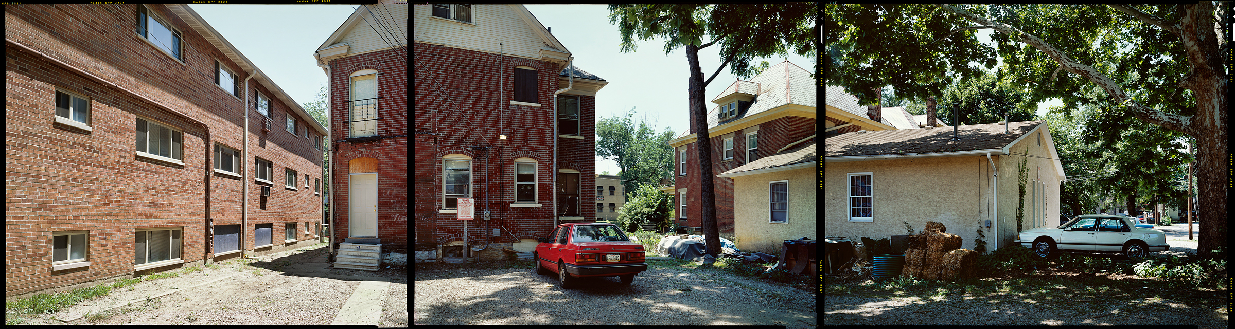
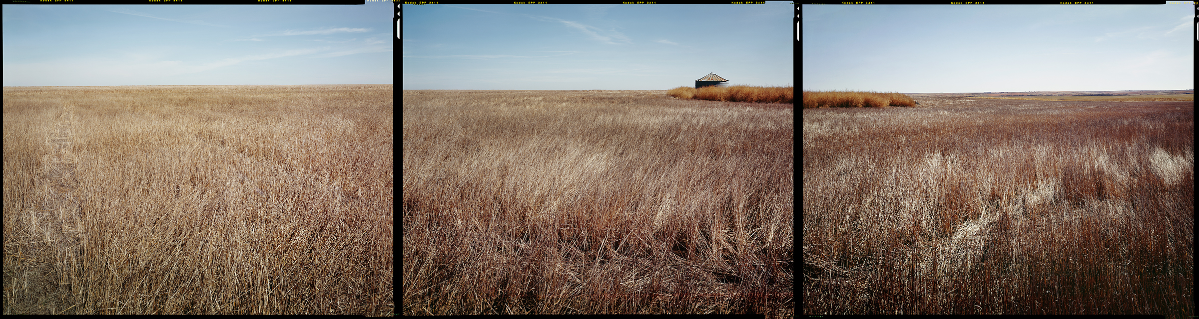
Belmont, Ohio, 1999
N 40° 00’ 00” W 81° 00’ 00”
North Zanesville, Ohio, 2012
N 40° 00’ 00” W 82° 00’ 00”
Columbus, Ohio, 1999
N 40° 00’ 00” W 83° 00’ 00”
New Carlisle, Ohio, 2012
N 40° 00’ 00” W 84° 00’ 00”
Green, Indiana, 2012
N 40° 00’ 00” W 85° 00’ 00”
Noblesville, Indiana, 2012
N 40° 00’ 00” W 86° 00’ 00”
Crawfordsville, Indiana, 2012
N 40° 00’ 00” W 87° 00’ 00”
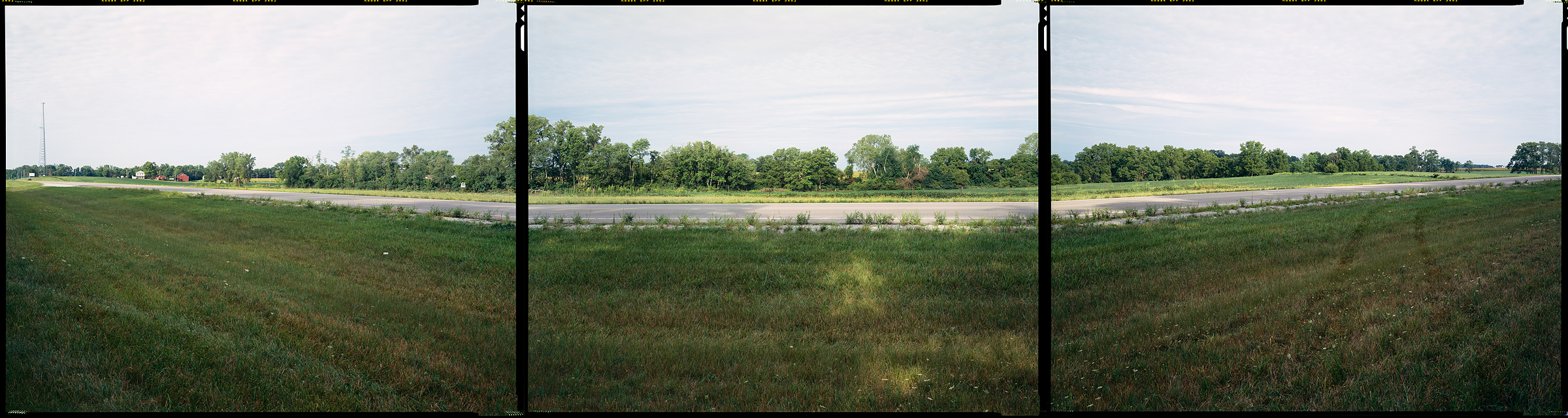
Homer, Illinois, 2012
N 40° 00’ 00” W 88° 00’ 00”
Maroa, Illinois, 2012
N 40° 00’ 00” W 89° 00’ 00”
Newmansville, Illinois, 2012
N 40° 00’ 00” W 90° 00’ 00”
Clayton, Illinois, 2012
N 40° 00’ 00” W 91° 00’ 00”
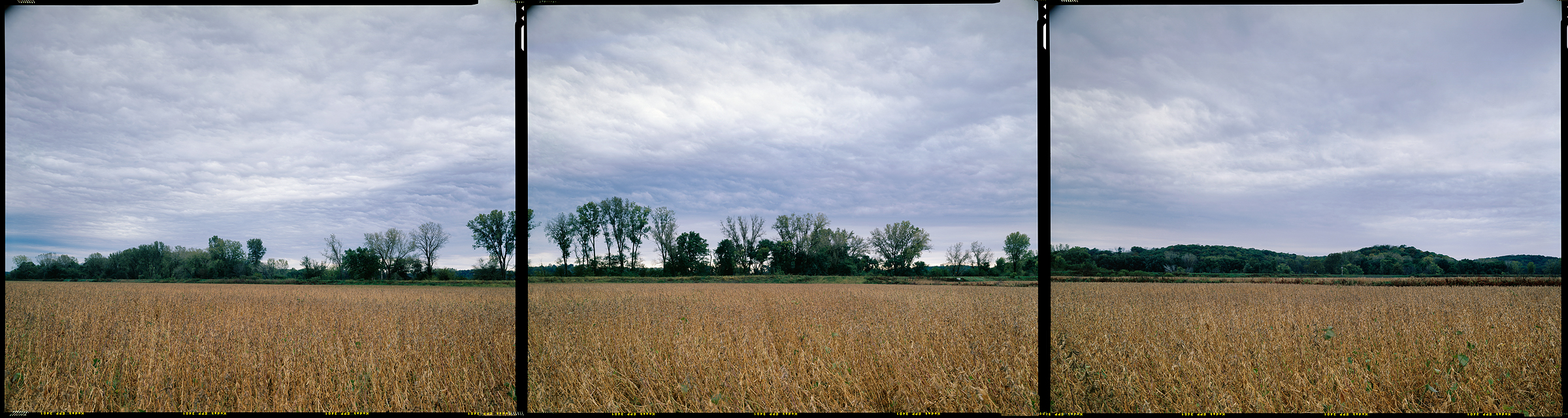
Newark, Missouri, 2011
N 40° 00’ 00” W 92° 00’ 00”
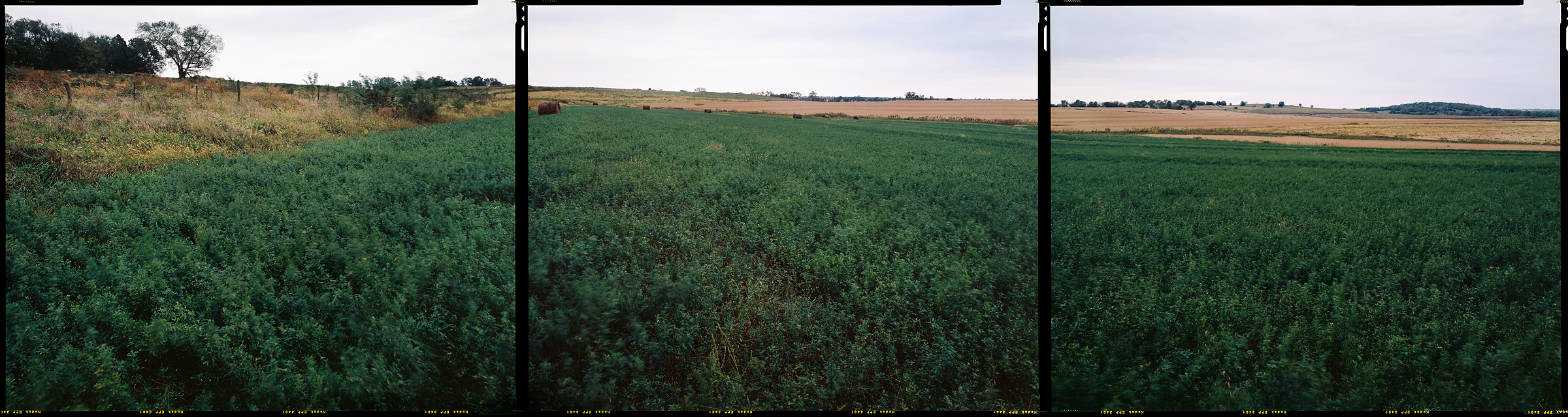
Winigan, Missouri, 2011
N 40° 00’ 00” W 93° 00’ 00”
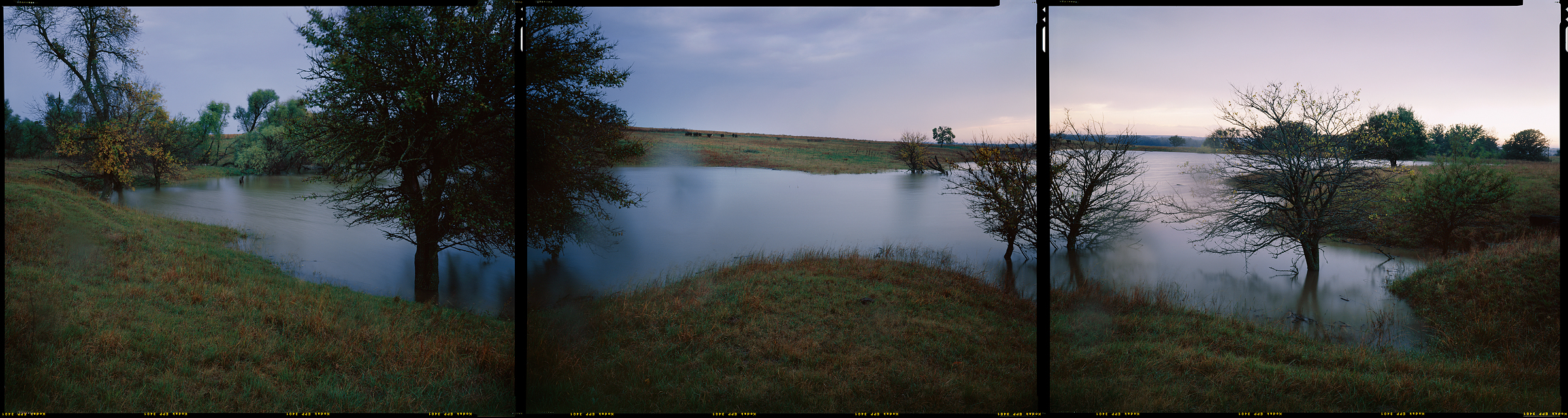
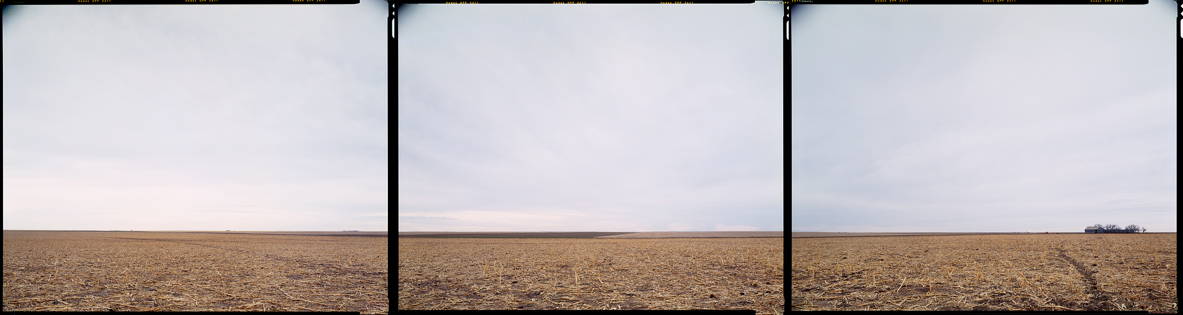
Jameson, Missouri, 2011
N 40° 00’ 00” W 94° 00’ 00”
Fillmore, Missouri, 2007
N 40° 00’ 00” W 95° 00’ 00”
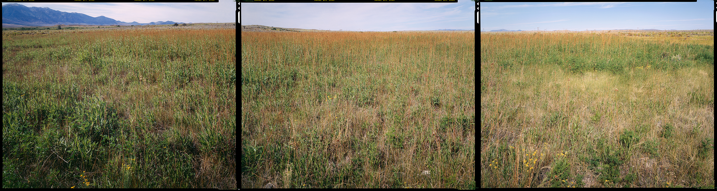
Bern, Kansas, 2007
N 40° 00’ 00” W 96° 00’ 00”
Hollenberg, Kansas, 2007
N 40° 00’ 00” W 97° 00’ 00”
Webber, Kansas, 2007
N 40° 00’ 00” W 98° 00’ 00”
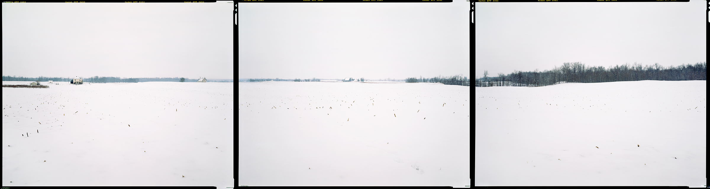
Kensington, Kansas, 2011
N 40° 00’ 00” W 99° 00’ 00”
Norton, Kansas, 2011
N 40° 00’ 00” W 100° 00’ 00”
Ludell, Kansas, 2011
N 40° 00’ 00” W 101° 00’ 00”
Saint Francis, Kansas, 2012
N 40° 00’ 00” W 102° 00’ 00”
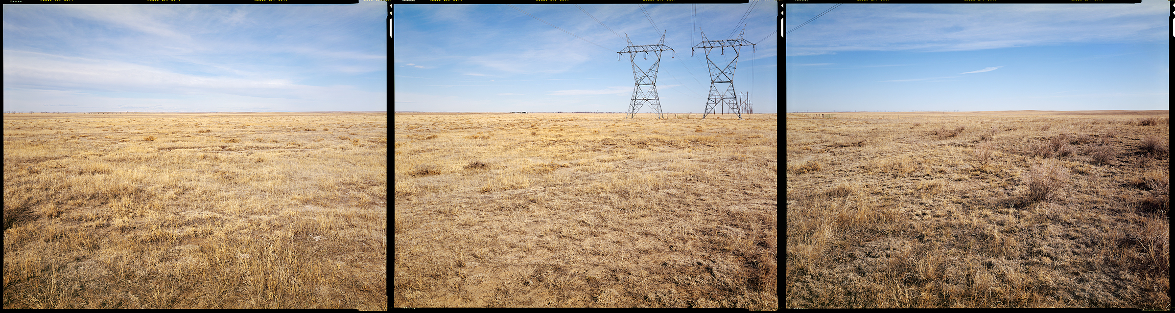
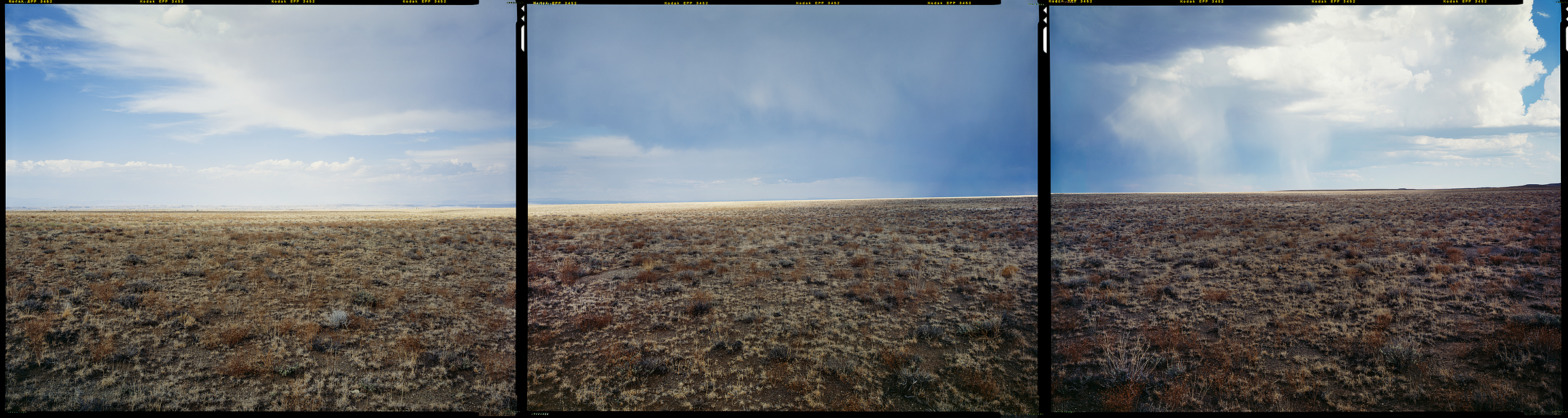
Otis, Colorado, 2008
N 40° 00’ 00” W 103° 00’ 00”
Hoyt, Colorado, 2008
N 40° 00’ 00” W 104° 00’ 00”
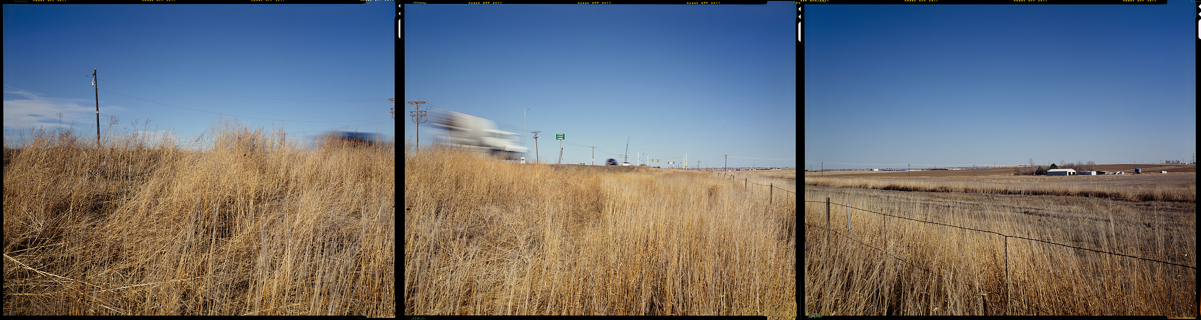
Broomfield, Colorado, 2008
N 40° 00’ 00” W 105° 00’ 00”
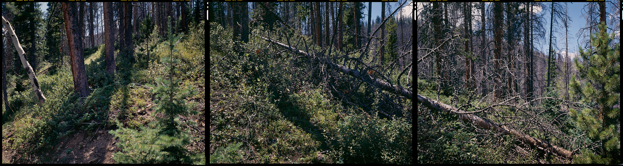
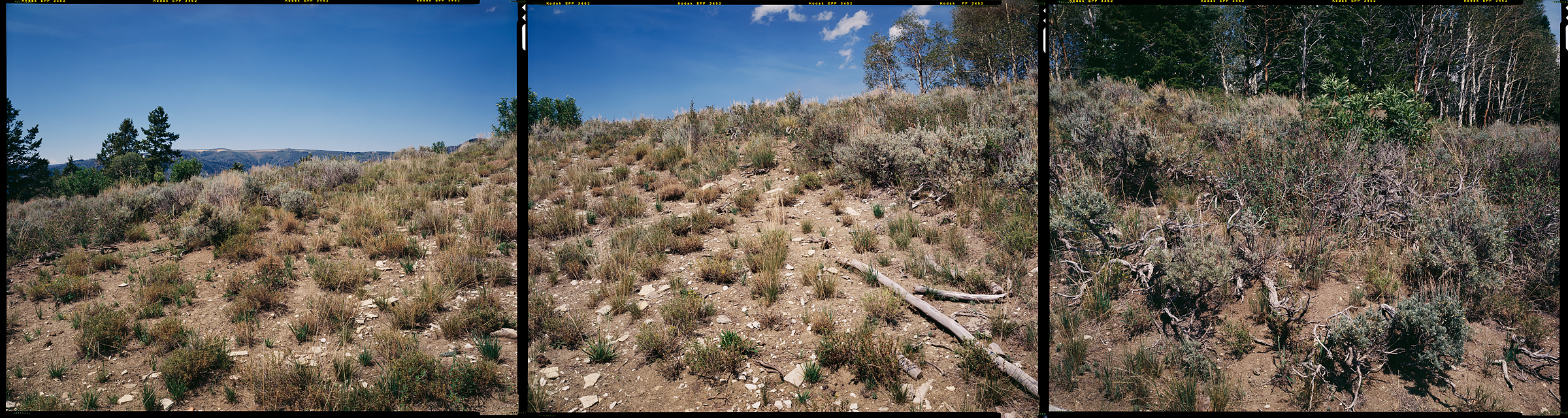
Arapaho National Forest, Granby, Colorado, 2012
N 40° 00’ 00” W 106° 00’ 00”
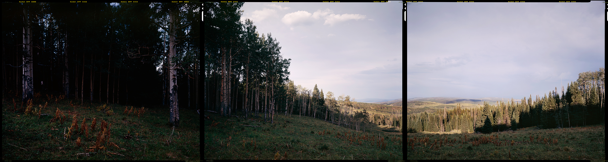
Routt National Forest, Toponas, Colorado, 2012
N 40° 00’ 00” W 107° 00’ 00”
Meeker, Colorado, 2000
N 40° 00’ 00” W 108° 00’ 00”
Rangely, Colorado
N 40° 00’ 00” W 109° 00’ 00”
Myton, Utah, 2012
N 40° 00’ 00” W 110° 00’ 00”
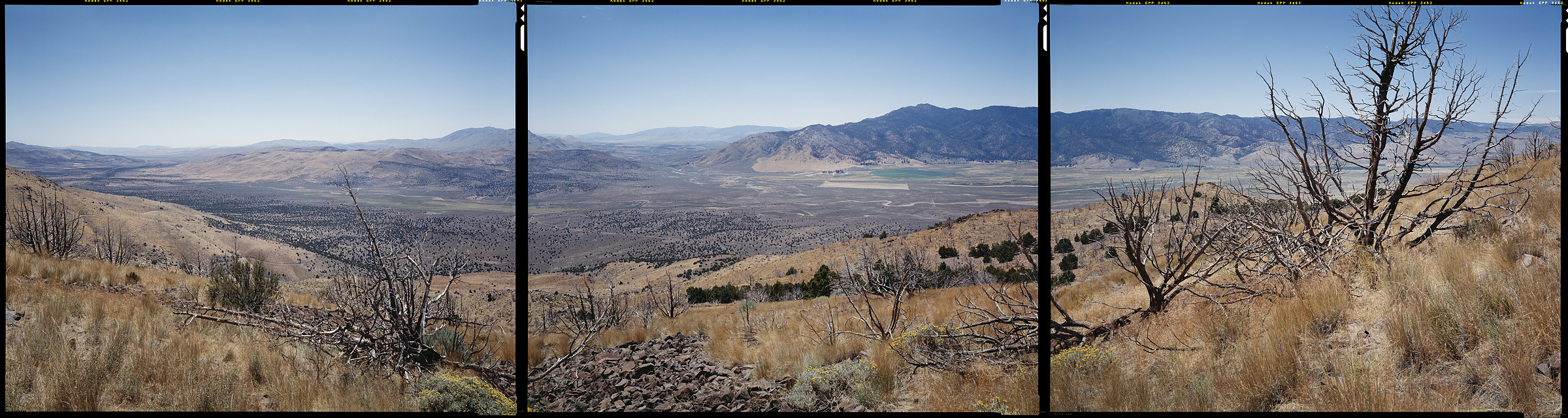
Uinta-Wasatch-Cache National Forest, Heber City, Utah, 2012
N 40° 00’ 00” W 111° 00’ 00”
Elberta, Utah, 2012
N 40° 00’ 00” W 112° 00’ 00”
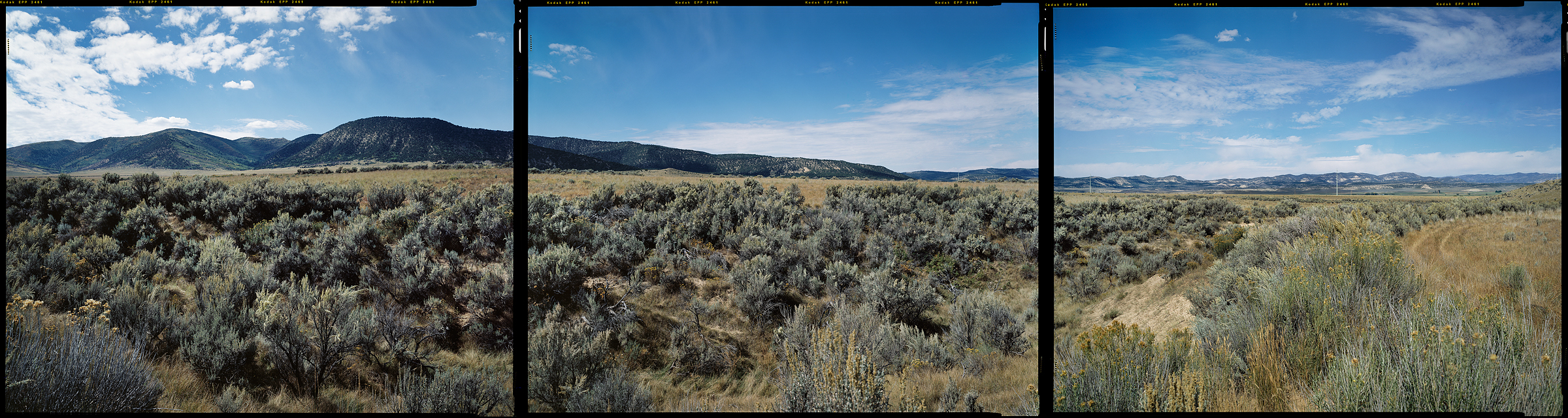
Fish Springs National Wildlife Refuge, Dugway, Utah, 2012
N 40° 00’ 00” W 113° 00’ 00”
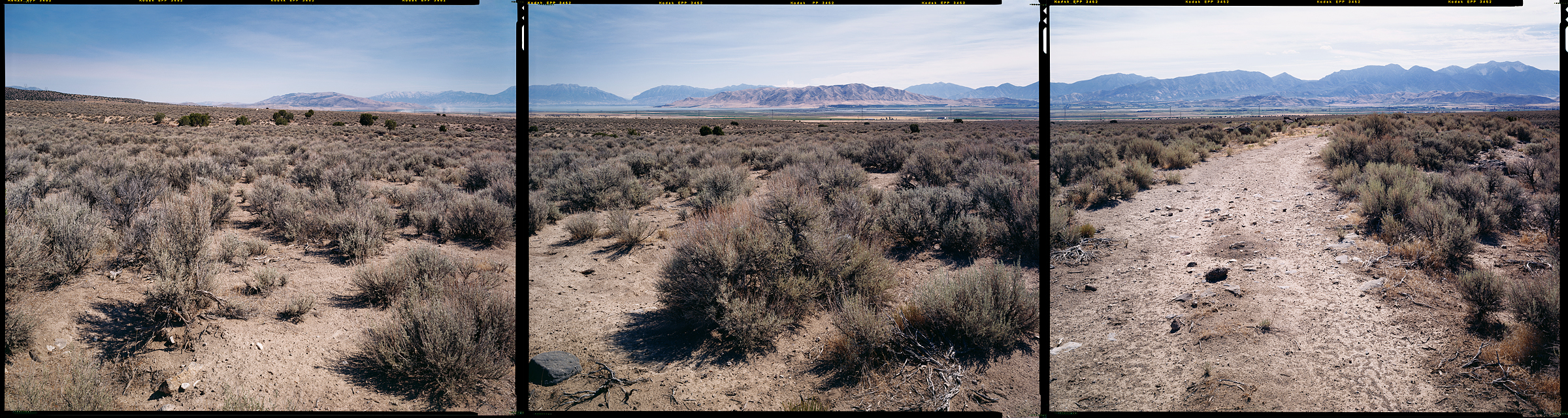
Ibapah, Utah, 2012
N 40° 00’ 00” W 114° 00’ 00”
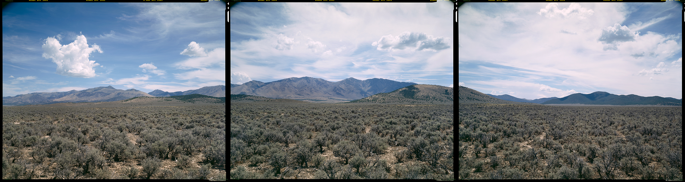
Ely, Nevada, 2012
N 40° 00’ 00” W 115° 00’ 00”
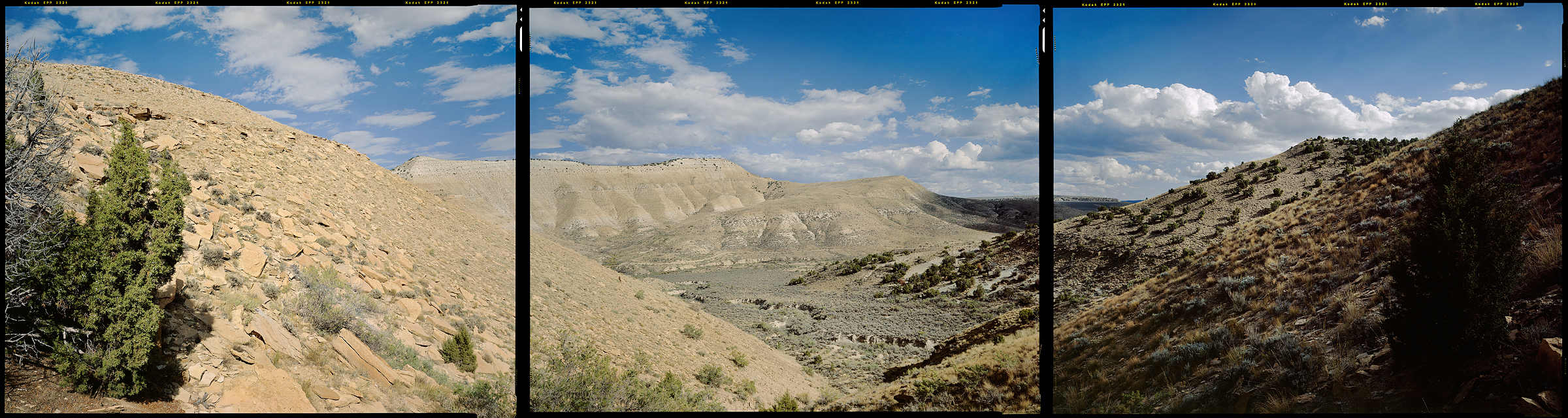
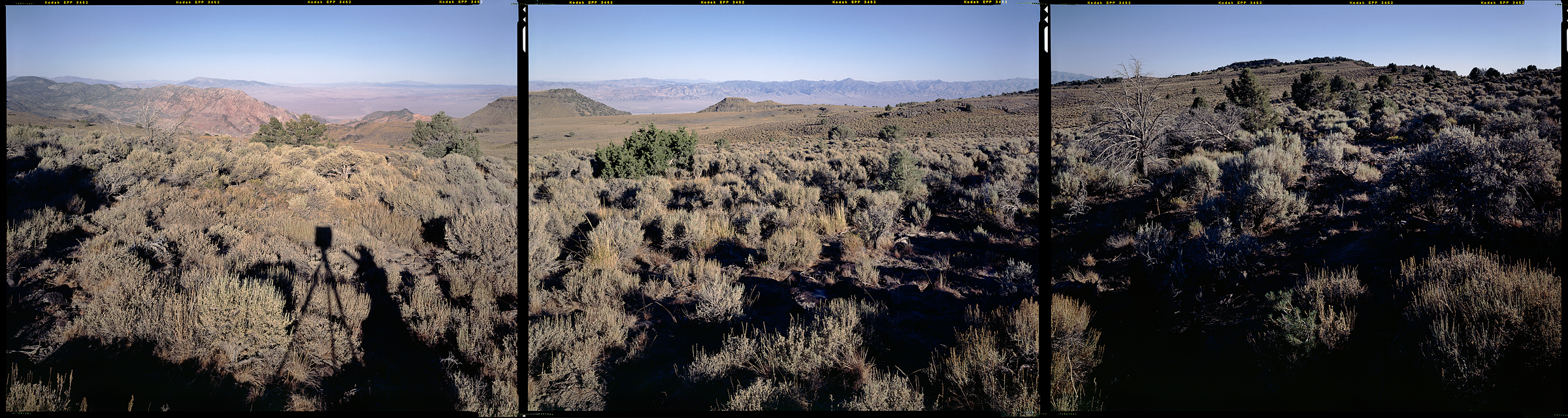
Saddler Brown Road, Eureka, Nevada, 2012
N 40° 00’ 00” W 116° 00’ 00”
Battle Mountain, Nevada, 2012
N 40° 00’ 00” W 117° 00’ 00”
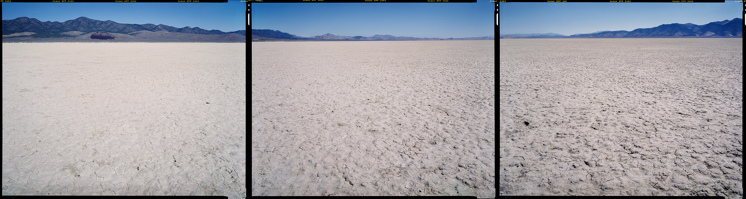
Fallon, Nevada, 2012
N 40° 00’ 00” W 118° 00’ 00”
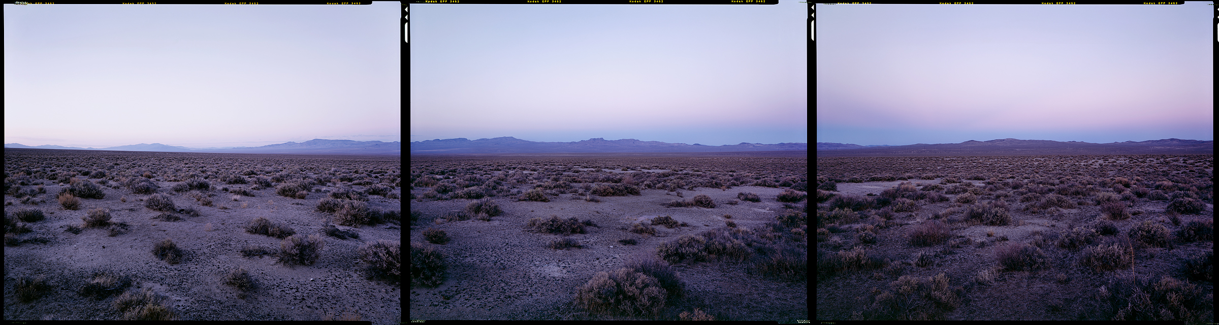
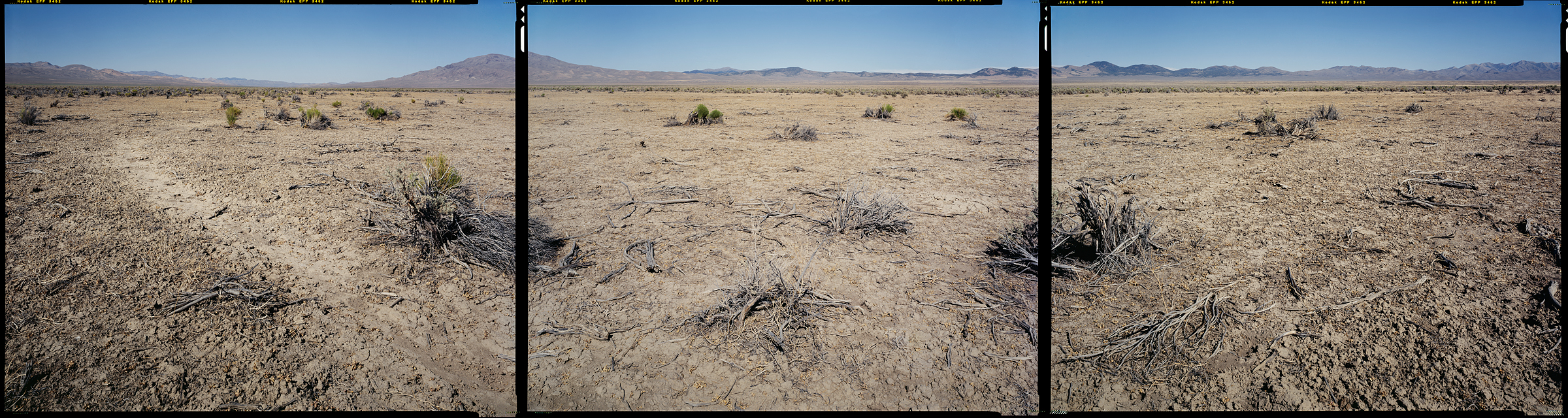
Fernley, Nevada, 2012
N 40° 00’ 00” W 119° 00’ 00”
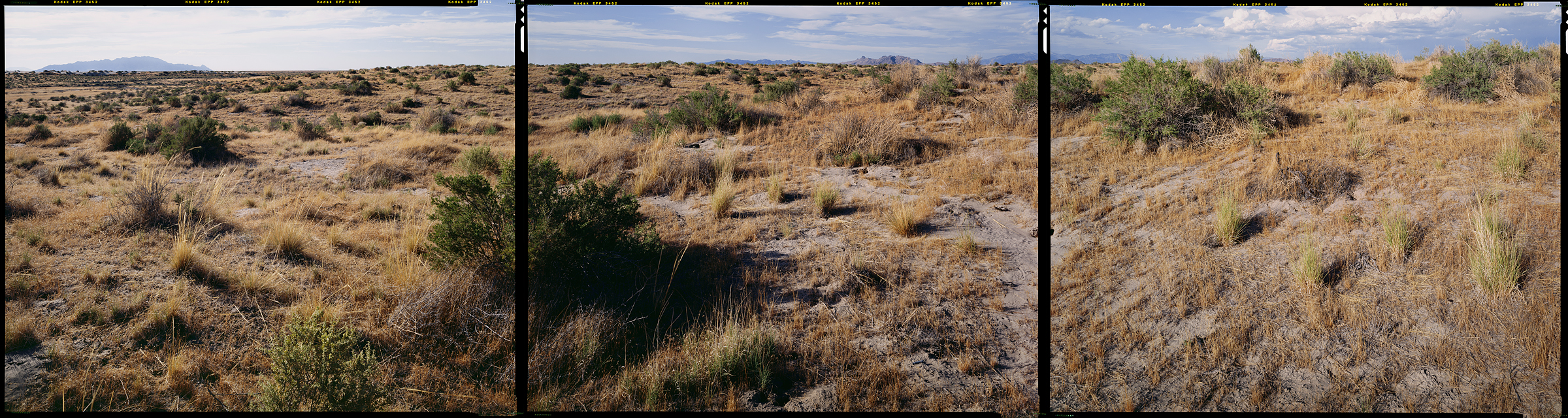
Doyle, California, 2012
N 40° 00’ 00” W 120° 00’ 00”
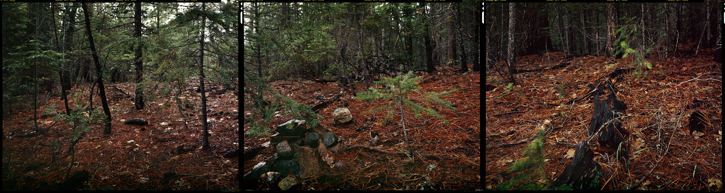
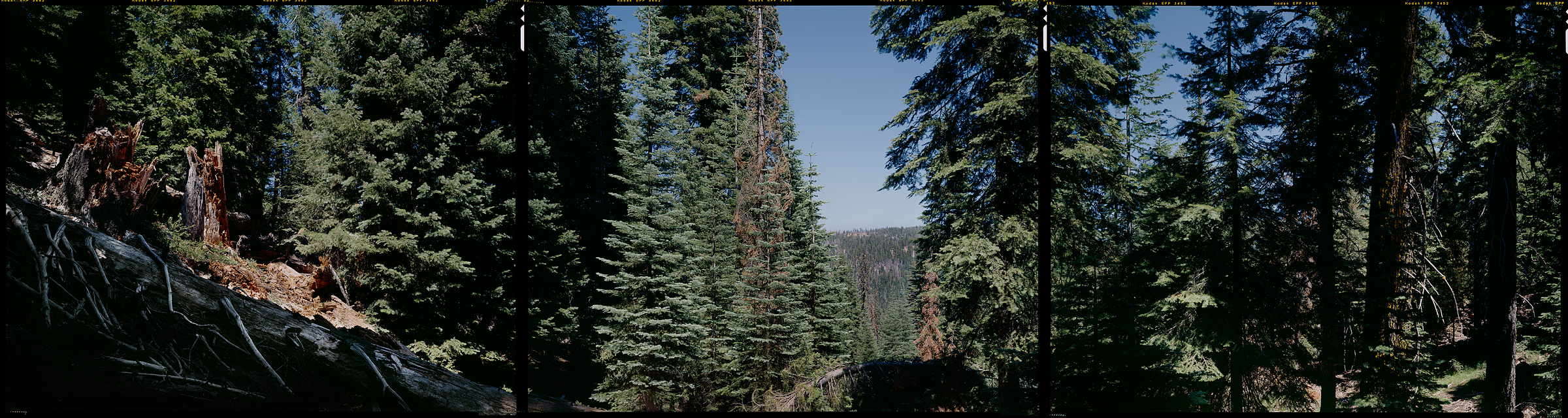
Plumas National Forest, Quincy, California, 2012
N 40° 00’ 00” W 121° 00’ 00”
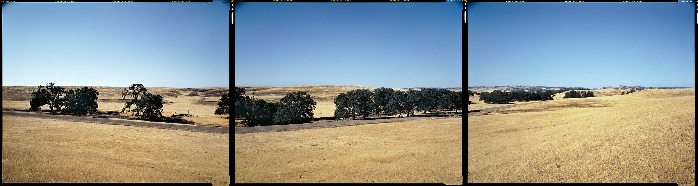
Vina, California, 2012
N 40° 00’ 00” W 122° 00’ 00”
Mendocino National Forest, Colevo, California, 2012
N 40° 00’ 00” W 123° 00’ 00”

Whitethorn, California, 2012
N 40° 00’ 00” W 124° 00’ 00”
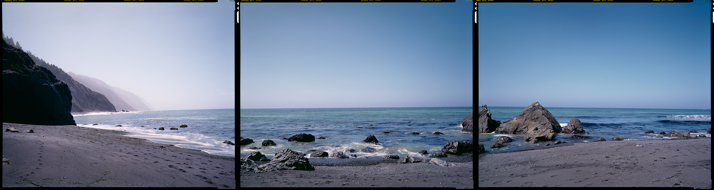
Shelter Cove, California, 2012
N 40° 01’ 11.38” W 124° 02’ 48.59”